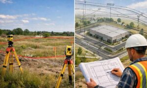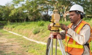
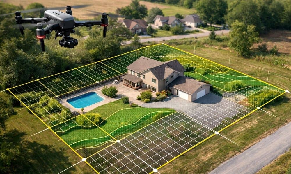
In the past few days, several property data stories have made waves online. Cities and agencies discovered major gaps between their official records and what actually exists on the ground. Some found missing structures. Others found parcel maps that no longer match real site conditions. As a result, buyers, developers, and lenders now ask a serious question: Can we still trust property records alone? Because of this growing concern, drone surveying has moved from a “nice extra” to a critical step in modern property due diligence. Today, more clients want fast, current, visual proof of site conditions — not just paperwork pulled from a database.
Property Records Don’t Always Match Reality
Most people assume property records stay accurate over time. However, land changes faster than records update.
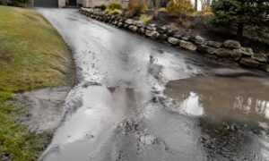
For example, owners add buildings. Contractors regrade lots. Developers split parcels. Drainage paths shift. Small expansions happen without full redraws. Meanwhile, county maps and GIS layers often lag behind.
So even when records look official, they may show:
- Old structure footprints
- Missing additions
- Outdated parcel layouts
- Wrong improvement locations
- Former grading conditions
That gap between record and reality creates risk. Buyers may purchase based on incorrect assumptions. Designers may plan using bad base data. Lenders may approve loans using incomplete site facts.
Therefore, many professionals now add drone surveying early in the review process.
Why This Problem Shows Up More Often Now
Right now, development moves quickly in many areas. Bridgeport and nearby communities continue to grow. New builds, site upgrades, and property transfers happen more often than before.
At the same time, record systems still rely on slow update cycles. Field verification does not always happen after every change. As a result, official layers drift away from actual ground conditions.
Also, older surveys may predate current improvements. A survey from 15 years ago cannot show what changed last year. Yet many people still rely on those documents.
Because of that mismatch, recent property data discoveries should not surprise us. Instead, they highlight why faster site verification tools now matter.
Where Paperwork Falls Short During Due Diligence
During a purchase or development review, teams often check:
- Title reports
- Tax maps
- GIS parcel layers
- Old plats
- Prior surveys
These documents help. However, they do not show current physical conditions. They show recorded information — not live site truth.
For instance, a title report confirms legal descriptions. Still, it does not show where a new shed sits today. A GIS map shows parcel shape. Yet it may miss a recent grading change.
Consequently, teams who rely only on paperwork increase their risk. They may discover conflicts late — sometimes right before closing or permit submission.
That is exactly where drone surveying adds value.
How Drone Surveying Closes the Data Gap
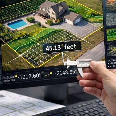
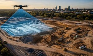
Drone surveying captures current, high-resolution aerial data across the full property. Instead of guessing, clients see the site as it exists now.
First, the drone flies the parcel using planned paths. Then it collects overlapping images and elevation data. Next, software turns that data into accurate maps and surface models.
Because of this workflow, drone surveying provides:
- Current aerial imagery
- True structure footprints
- Site layout context
- Surface condition visibility
- Development progress checks
Moreover, drones cover large areas quickly. Ground crews may need days. A drone team may need hours.
Therefore, clients gain faster clarity before they commit to major decisions.
Real Situations Where Clients Benefit Most
Many property problems appear only after money moves. However, drone surveying helps catch issues earlier.
For example:
A buyer plans to close on commercial land. Drone data shows an unrecorded storage yard footprint. Now the buyer asks questions before signing.
A developer reviews a multi-parcel site. Drone imagery reveals access patterns not shown on record maps. The design team adjusts early.
An investor checks a redevelopment property. Drone capture shows current use conflicts. The deal terms change before risk grows.
In each case, current aerial data improves decisions. Instead of reacting late, clients act early.
When You Should Consider Drone Surveying
Not every project needs every tool. Still, certain moments strongly favor drone surveying.
You should consider it:
- Before buying large parcels
- Before commercial site design
- Before subdivision planning
- During due diligence periods
- When records look inconsistent
- When multiple parcels combine
- When improvements appear recent
Additionally, drone surveying works well at the start of ALTA and boundary workflows. It gives teams visual context before deeper field work begins.
Drone Surveying Works Best With Professional Survey Oversight
Drone surveying brings speed and visibility. However, it does not replace professional judgment. A licensed land surveyor still interprets boundaries, control, and legal positions.
Instead, the best results come from combining methods.
Drone data gives fast site truth. Ground survey gives legal certainty. Together, they create stronger outcomes.
Because of that partnership, clients gain both efficiency and reliability.
Why This Matters for Bridgeport Area Projects
Bridgeport and the surrounding region include mixed property types — commercial zones, hillside lots, redeveloped parcels, and growing subdivisions. That mix increases the chance that records fall behind site reality.
Therefore, local buyers and developers benefit from modern verification tools. Drone surveying supports faster project planning and fewer late surprises.
Moreover, early clarity protects budgets. Fixing mistakes after design costs more than verifying conditions before design.
The Bottom Line: Verify the Site, Not Just the Records
Recent property data discoveries send a clear message. Records help — but they do not guarantee accuracy. Land changes. Improvements appear. Layouts shift.
Because of that, smart clients now verify conditions early.
Drone surveying provides fast, current, site-wide visibility. It helps buyers, developers, and lenders confirm what truly exists — not just what paperwork says exists.
So before you buy, design, or develop, make sure you verify the ground truth. It costs far less to check early than to correct late.