Why Drone Surveying Is Now Critical for Property Records
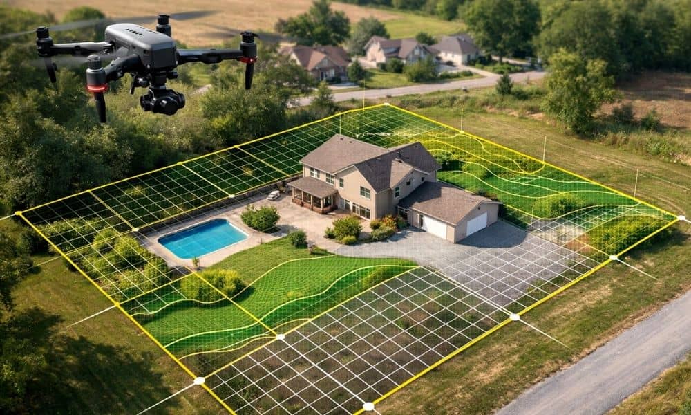
In the past few days, several property data stories have made waves online. Cities and agencies discovered major gaps between their official records and what actually exists on the ground. Some found missing structures. Others found parcel maps that no longer match real site conditions. As a result, buyers, developers, and lenders now ask a […]
Can Drone Surveying Detect Hidden Ground Risks?
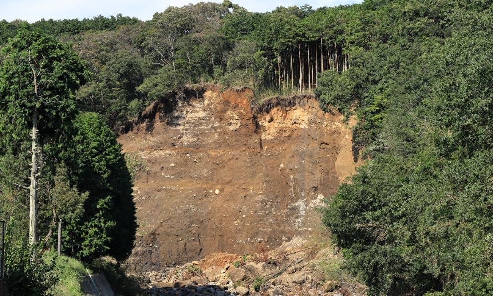
A few days ago, a landslide video from Italy went viral. Heavy rain hit a quiet hillside town, and within seconds, the ground gave way. A home collapsed and slid downhill like it was made of paper. People all over the world watched the clip in shock. As heartbreaking as it was, it also sparked […]