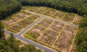
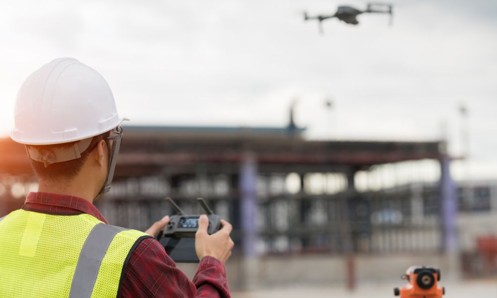
At first glance, drone land surveying looks simple. A drone lifts off, follows a neat flight path, and lands smoothly. Soon after, colorful maps and 3D images appear on a screen. Because of that, many people assume the process works like a smart gadget — tap a button and get instant results.
However, that idea misses what really happens.
Recently, many surveyors shared online that clients expect instant deliverables. Some believe the drone automatically creates a finished survey. Others assume software handles every detail without human input. While technology has improved fast, professional surveying still depends on judgment, training, and responsibility.
Drone land surveying may start with a flight, but it does not end there.
What the Drone Actually Does
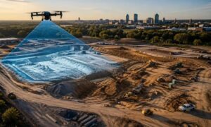
When a drone flies over a property, it captures hundreds of overlapping images. It also records position and elevation data. That information forms the base layer of a project.
Still, those images do not equal a completed survey.
The drone cannot confirm legal boundaries. It cannot interpret deeds. It cannot decide where one parcel ends and another begins. Instead, it gathers raw data. Afterward, software processes that data into maps and models. Even then, the work remains unfinished.
Drone land surveying depends on how a licensed professional reviews and interprets the results. Without that step, the data remains just pictures and points on a screen.
Technology Assists — It Doesn’t Replace Expertise
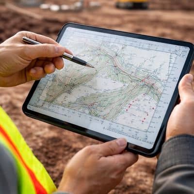
Modern processing software works quickly. It stitches images together and builds detailed surface models. It calculates distances and elevations in seconds. Because of that speed, many assume the hard work disappears.
Yet software does not think.
A licensed land surveyor compares aerial results with recorded documents and field evidence. If something looks off, the surveyor investigates. If measurements conflict, the surveyor resolves the issue. While automation helps organize information, it cannot replace professional decision-making.
In fact, the more advanced the tools become, the more important human oversight becomes. Drone land surveying works best when technology and expertise support each other.
The Difference Between a Drone Operator and a Surveyor
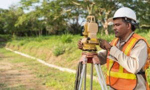
Another common misunderstanding involves who performs the work. Many people own drones today. Real estate agents use them. Contractors use them. Hobbyists fly them for fun.
However, flying a drone does not make someone a surveyor.
Drone photography captures visuals. Drone land surveying produces measurements that carry legal weight. That difference matters when projects involve property boundaries, construction plans, or official documentation.
A licensed land surveyor carries responsibility for accuracy. That professional signs and seals documents. That professional answers questions if disputes arise. Therefore, when hiring someone for drone land surveying, clients should confirm that a licensed surveyor supervises the project.
The drone may gather the data, but the surveyor stands behind the result.
Why Good Surveys Take Time
Sometimes clients feel surprised when results do not arrive the same day. After all, the drone flight itself may last only an hour. So why does the full process require more time?
Because careful review protects the project.
After collecting the data, the surveyor processes it and checks for inconsistencies. Tree shadows, reflections, or slight alignment shifts can affect measurements. A trained professional examines those areas and corrects them. Then the surveyor verifies that all measurements align with known control points.
Drone land surveying may look fast from the outside. Still, accuracy requires patience and attention to detail. Rushing that step increases risk, and no serious professional takes that risk lightly.
Why Responsibility Still Matters
When technology handles much of the data collection, some assume liability decreases. In reality, responsibility remains the same.
If a survey influences construction decisions or property boundaries, someone must stand behind it. Software does not carry a license. A drone does not carry insurance. A licensed surveyor does.
That responsibility drives every review step. Surveyors know that errors can lead to costly delays or disputes. Because of that, they treat drone land surveying as a professional service, not a quick tech product.
Clients benefit from that mindset. While automation speeds parts of the workflow, accountability keeps projects safe.
How Clients Should View Drone Land Surveying
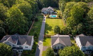
In growing communities like Bridgeport and surrounding areas, more projects rely on aerial data. Developers, property owners, and builders want clear site information before moving forward. Drone land surveying offers powerful tools to meet that demand.
Still, clients should see the service as a partnership between technology and expertise.
The drone expands visibility. The software organizes data. Meanwhile, the licensed land surveyor verifies, interprets, and confirms accuracy. Together, those pieces create reliable results.
Without the professional layer, the process loses its foundation.
The Bottom Line
Drone land surveying has transformed how professionals capture site information. It improves efficiency and delivers detailed visuals that once took days to gather. Yet it does not eliminate the need for skill, judgment, and responsibility.
Although the flight looks smooth and automatic, the real value lies in what happens afterward. A licensed surveyor studies the data, resolves questions, and ensures the final product meets professional standards.
So no, drone land surveying is not a push-button. It combines advanced tools with experienced oversight. That balance protects projects and builds trust.
In the end, the drone may fly and the software may process. However, a trained professional ensures the survey stands up to scrutiny. That difference makes all the impact — and it is why expertise will always matter.