If you live in Bridgeport, WV, you may have seen your flood insurance cost go up. It can feel confusing and unfair. You might wonder, “Why is my rate so high?” The truth is, many homeowners pay more than they should. However, there is a way to check if your home is rated correctly. That’s where a FEMA elevation certificate comes in, and once you get a clearer picture of your home’s elevation, you’ll start to see how elevation certificates can affect insurance costs.
Why Flood Insurance Costs Are Not the Same for Every Home
First, it’s important to know that not all homes carry the same flood risk. Even if two homes sit on the same street, they can have very different insurance rates.
That’s because insurance companies look at more than just the flood zone. They also care about elevation—how high your home sits compared to nearby flood levels. And when you think about it, that’s really how elevation affects flood insurance costs, even between homes that look almost the same.
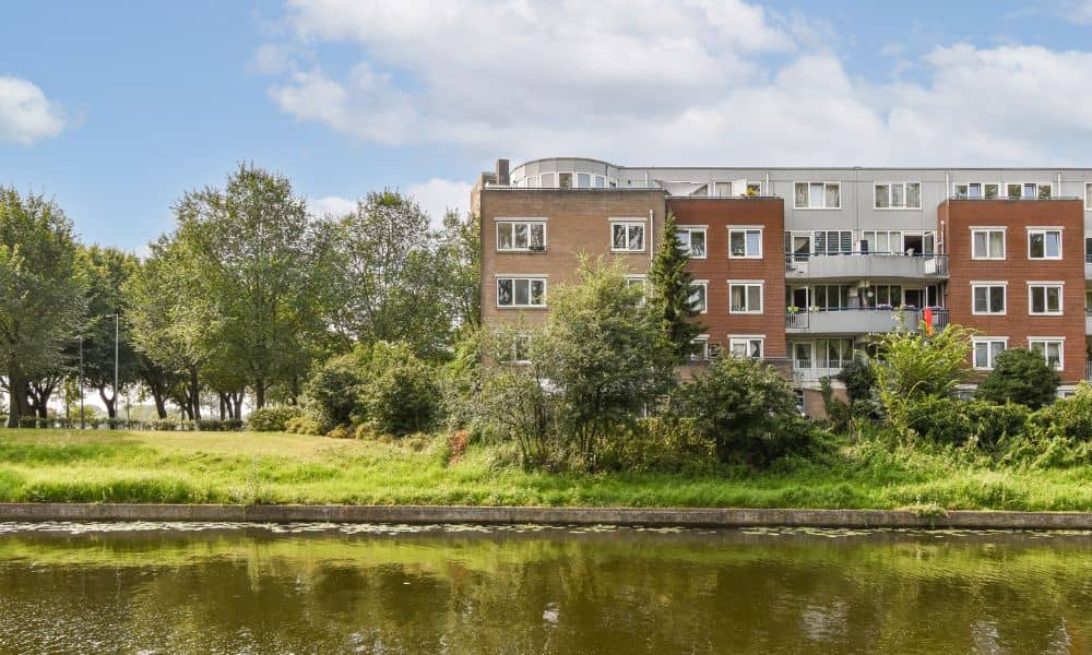
For example, some parts of Bridgeport sit near creeks or low areas. Because of that, insurance companies may assume a higher risk. As a result, they often charge higher premiums.
However, those assumptions are not always accurate.
What Is a FEMA Elevation Certificate?
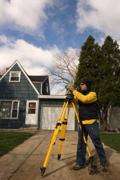
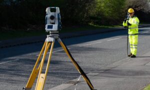
A FEMA elevation certificate is a document that shows the exact height of your home compared to flood levels.
A licensed land surveyor measures:
- The lowest floor of your home
- The ground level around it
- The expected flood height in your area
Then, they put that information into a clear report.
This report gives insurance companies real data instead of guesses. Because of that, it can change how your risk is calculated.
How a FEMA Elevation Certificate Can Lower Your Insurance
Here’s where things get interesting.
Without a FEMA elevation certificate, insurance companies often play it safe. In many cases, they assume your home sits lower than it actually does. Because of that, they charge more.
However, when you provide an elevation certificate, you give them proof.
If your home sits higher than the base flood level, your risk goes down. As a result, your insurance cost may drop.
Even a small difference in elevation can make a big impact over time.
When Homeowners See the Biggest Savings
Not every home will see a big change. Still, many property owners benefit from getting a FEMA elevation certificate.
You are more likely to save money if:
- Your home sits slightly above the flood level
- Your property is near a flood zone but not deeply inside it
- Your home was built on a raised foundation
- The area has older flood map data
In these cases, the insurance company may be overestimating your risk. So, once they see the real numbers, they may adjust your rate.
When It May Not Lower Your Cost Much
It’s also important to be honest about this.
A FEMA elevation certificate does not always lead to savings.
For example, if your home sits well below the flood level, the risk remains high. Because of that, the insurance cost may not change much.
Even so, having accurate data still helps. It gives you a clear picture of your property and avoids surprises later.
Why This Matters for Buyers and Homeowners
This is not just about saving money today. It also matters when you buy, sell, or refinance a home.
For example, if you plan to buy a home, a high insurance quote can feel like a deal breaker. However, that quote may not reflect the true risk.
With a FEMA elevation certificate, you can confirm the real elevation. Then, you can make a better decision.
The same applies if you already own your home. If your insurance rate suddenly increases, this document can help you challenge that change.
How Lenders and Insurance Companies Use This Document
Lenders and insurance companies both rely on risk data.
Lenders want to protect their investment. So, they often require flood insurance in certain areas.
Insurance companies, on the other hand, use elevation data to set your premium.
When you provide a FEMA elevation certificate, you give both parties clear and accurate information. Because of that, they can make better decisions based on facts—not assumptions.
What the Process Looks Like
Getting a FEMA elevation certificate is more simple than most people think.
First, a licensed surveyor visits your property. They take precise measurements using professional equipment.
Next, they record the elevation of your home and compare it to the local flood level.
Then, they prepare the official document. After that, you can share it with your insurance provider.
The whole process usually takes a short amount of time, and the results can last for years.
Is It Worth the Cost?
Many homeowners ask this question.
A FEMA elevation certificate has a one-time cost. However, the savings can add up over time.
For example, if your insurance drops even a small amount each month, you may recover the cost faster than you expect.
In addition, you gain peace of mind. You know your property is rated correctly, and you avoid overpaying.
Why Working With a Local Surveyor Matters
Choosing a local professional makes a big difference.
A licensed land surveyor understands the area. They know the terrain, flood patterns, and local requirements.
Because of that, they can provide accurate measurements and reliable results.
That accuracy is key. Even small errors can affect your insurance outcome.
Final Thoughts
Flood insurance does not have to feel like a mystery. In many cases, the price you see is based on limited data.
A FEMA elevation certificate gives you real numbers. With that information, insurance companies can adjust your rate based on your actual risk.
So, if your premium feels too high, it may be worth taking a closer look.
Sometimes, a simple measurement can make a big difference.