How Land Surveying Helps Check Access for Flag Lots
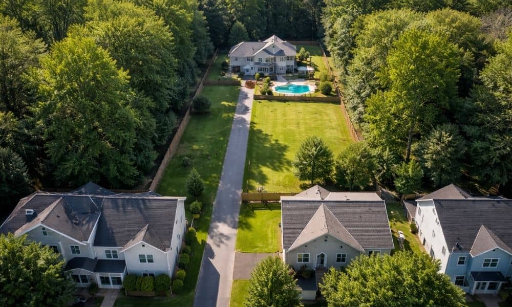
A back lot in Bridgeport can look like a smart buy. It sits away from the road, feels quiet, and often costs less than nearby homes. Then you try to picture a driveway. That is when the questions start. Where does the driveway go? Who owns the path? Can you even reach the lot without […]
Why Remote Sensing Technology Matters More Today
Land development is changing as new tools make it easier to understand complex terrain. Remote sensing technology is now one of the most important tools in modern surveying. In areas like Bridgeport, WV, where land conditions can vary, having accurate data early makes a big difference. Why Remote Sensing Technology Is Becoming More Common The […]
A Lot Survey Can Prevent Final Plat Delays

You’ve got land. You’ve planned out your lots, and everything looks right on paper. So you move forward, expecting a smooth approval. Then the city reviews your plan—and suddenly, things stop. Maybe one lot is slightly too small. Maybe access doesn’t meet local rules. Or maybe the layout just doesn’t work the way you thought. […]