How a Plat of Survey Helps Turn Raw Land Into a Buildable Property
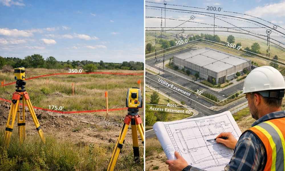
You found the perfect piece of raw land. The price is right. The location works. So you’re ready to build, right? Not quite. A plat of survey is the document that transforms raw acreage into a property developers can actually work with. Without it, you’re making decisions based on incomplete information. That’s a recipe for […]
What Surveying Companies Check Before Site Approval

A lot of site plans look good on paper. The layout makes sense. The buildings fit. The parking lines up. Then the city reviews it, and suddenly there are comments, revisions, and delays. That usually happens because something on the site was not fully checked before submission. Not the design, but the actual ground conditions […]
Why Construction Projects Need LiDAR Mapping More Than Ever
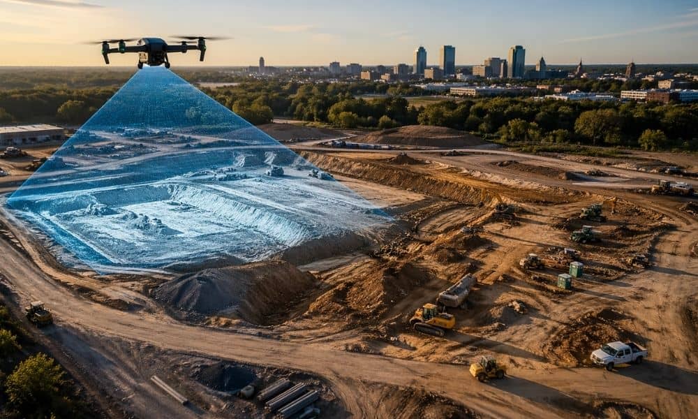
Construction is picking up in Bridgeport. New buildings, site upgrades, and property changes are showing up all over town. That sounds like good news, and it is. Still, faster projects bring new problems. Builders need better site data right away, not weeks later. That shift is why more people are asking about lidar mapping. Construction […]