
How LiDAR Mapping Is Changing Property Data
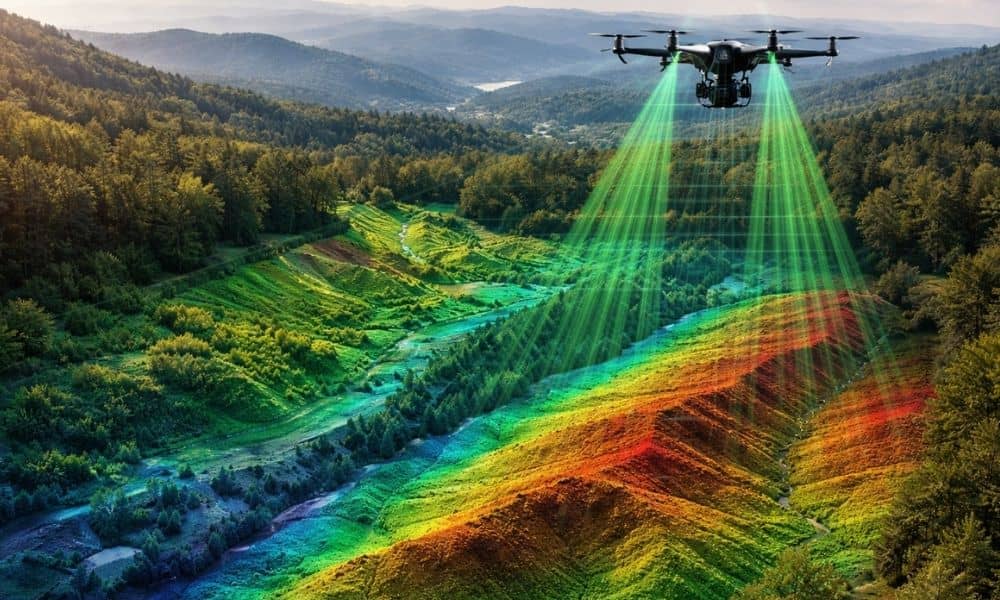
Technology keeps changing how people understand land. Recently, cities and counties started using lidar mapping to make very detailed maps of neighborhoods and large areas. This technology collects millions of measurements from the ground. Because of this, planners and engineers can see land features much more clearly. Most news stories talk about big cities. However, […]