
The Growing Role of Drone Surveying in Land Development and Site Analysis
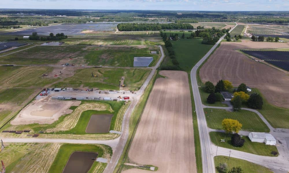
On a development parcel, the first hard question usually comes before any design work starts. It’s about where buildings, roads and utilities can actually fit on the land. Drone surveying can help answer that early. A drone flies a planned pattern over the property and collects overlapping aerial images or laser data. A survey team […]
How Drone Land Surveying Is Improving Project Timelines and Accuracy
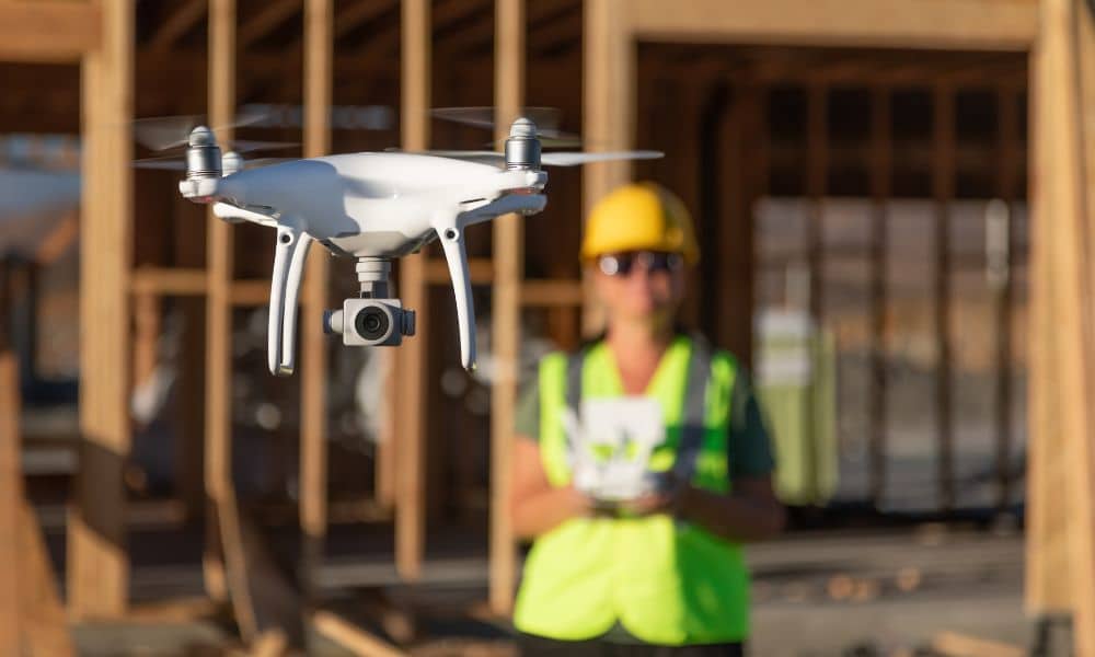
A drone can fly over a piece of land and collect a lot of information in a short time. That part looks impressive. But the flight is only the start of the work, not the finished survey. Drone land surveying works best when it fits into the survey the right way. The data a drone […]
Why an Aerial Survey Is the Key to Ending I‑79 Delays
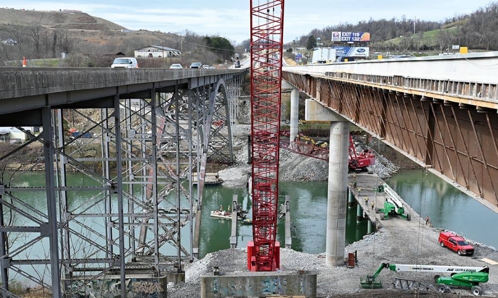
If you’ve driven through Bridgeport lately, you’ve probably noticed the cranes, concrete pillars, and partial roadways that seem to stretch on forever. The photo above shows the ongoing work on the I-79 bridge, a clear sign that this important highway is still under heavy construction. For many locals, the question on everyone’s mind is simple: […]