
The Growing Role of Drone Surveying in Land Development and Site Analysis
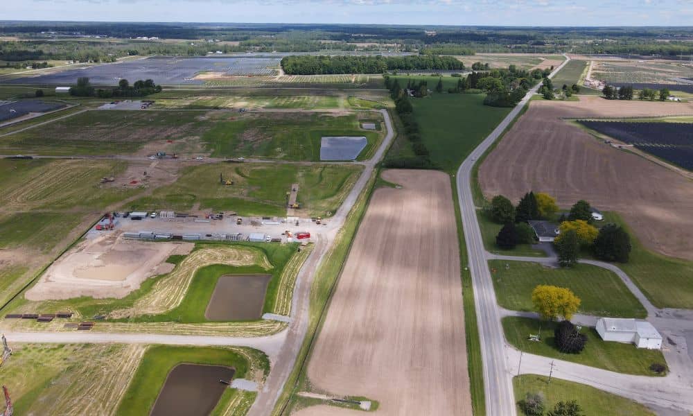
On a development parcel, the first hard question usually comes before any design work starts. It’s about where buildings, roads and utilities can actually fit on the land. Drone surveying can help answer that early. A drone flies a planned pattern over the property and collects overlapping aerial images or laser data. A survey team […]
New Drone Rules Every Drone Land Surveying Firm Must Know
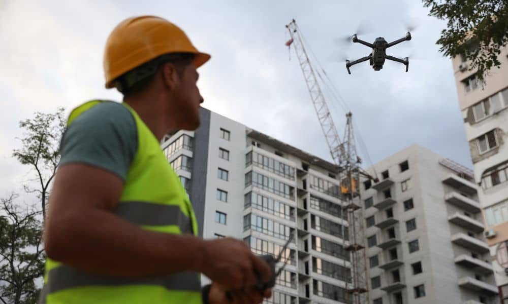
If you work in drone land surveying, there’s big news you need to know. The state recently tightened its UAV privacy rule—changing how drones can legally fly over private property. This update doesn’t just affect hobbyists or photographers; it directly impacts how surveyors, developers, and property owners use drones for mapping and construction projects. What […]