New Drone Rules Every Drone Land Surveying Firm Must Know
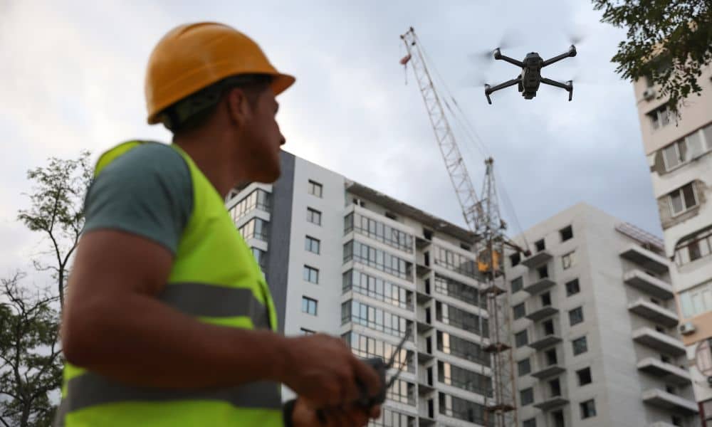
If you work in drone land surveying, there’s big news you need to know. The state recently tightened its UAV privacy rule—changing how drones can legally fly over private property. This update doesn’t just affect hobbyists or photographers; it directly impacts how surveyors, developers, and property owners use drones for mapping and construction projects. What […]
Why an Aerial Survey Is the Key to Ending I‑79 Delays
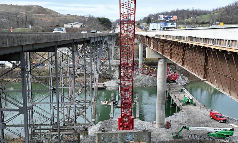
If you’ve driven through Bridgeport lately, you’ve probably noticed the cranes, concrete pillars, and partial roadways that seem to stretch on forever. The photo above shows the ongoing work on the I-79 bridge, a clear sign that this important highway is still under heavy construction. For many locals, the question on everyone’s mind is simple: […]