A drone can fly over a piece of land and collect a lot of information in a short time. That part looks impressive. But the flight is only the start of the work, not the finished survey.
Drone land surveying works best when it fits into the survey the right way. The data a drone gathers still needs trained people to check it, process it and decide what it means. For property owners, builders and developers, knowing how this fits together helps set the right expectations before a project begins.
Where Drone Land Surveying Fits Into a Survey Workflow
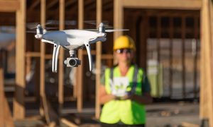
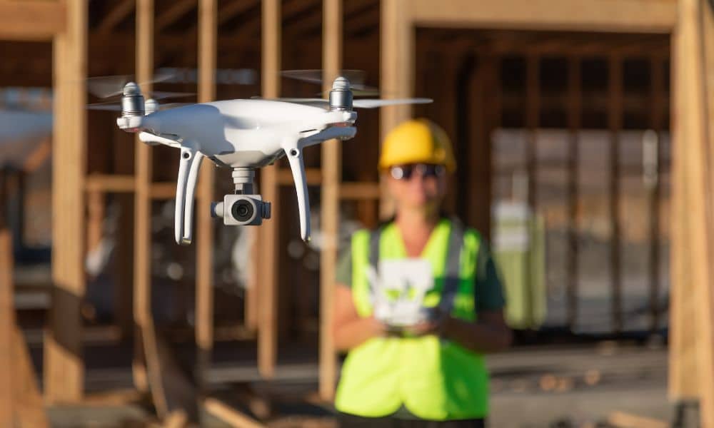
In a professional setting, drone land surveying means a licensed survey team uses a drone to gather images and location data from the air. The drone does not replace the surveyor. It gives the surveyor another way to collect information across a site.
The drone captures raw data. It does not create the final survey on its own. The survey team sets the project requirements, controls the accuracy of the work, processes the data and decides what information is good enough for the job.
This setup can help on large or hard-to-reach sites. Some parcels sit on steep slopes or behind heavy tree cover. A drone can reach parts of those sites that are slow or unsafe to cross on foot.
Faster Field Coverage Can Reduce Repeat Site Visits
Aerial data lets a crew cover parts of a site without walking every open area by hand. The drone can record a wide section of ground in one flight. That can shorten the time spent in the field.
When the flight captures enough of what the project needs, the crew may not have to return as often. Fewer trips can move a project along. But this depends on the site and the job.
The real savings change from one project to the next. Site size, plant cover, terrain, weather and the type of information needed all play a role. A small, clear lot and a large wooded tract are very different jobs.
West Virginia adds its own conditions. Mountain slopes, dense woods and odd-shaped parcels create field settings that shift from site to site. A method that works well on one property may need changes on the next.
Consistent Data Gives Project Teams More to Review
A drone can collect images that overlap and line up across a whole site. That gives the survey team an organized record of what the ground looked like on the day of the flight. A broad, steady set of data is easier to study than scattered notes.
This kind of coverage can point the team toward spots that deserve a closer look. A low area that may hold water, a slope that looks unstable or a boundary feature worth checking can stand out in the data. Catching these early helps before the team makes design or construction choices.
More data does not mean more accurate data. Accuracy rests on the equipment, the survey control on the ground, the flight conditions, the processing method and the standards the project calls for. A large set of images is not useful if the ground control behind it is weak.
Processing Turns Aerial Capture Into Usable Survey Information
The flight is over in minutes. The work that follows takes longer. Once the drone lands, the survey team moves the captured images and data into software and starts to build the products the project needs.
A few common results come out of this stage:
- Orthomosaic imagery, which is many photos stitched together and corrected so distances on the picture measure true, like a flat map made from photos
- Point clouds, which are large sets of measured points that together show the shape of the ground and the objects on it
- Surface models, which show the highs and lows of the land in a digital form
- Measurements and maps drawn to fit the project
Before any of this reaches a design team or a builder, a surveyor checks it. Quality control at this stage catches errors and confirms the data meets the project standards. The flight matters, but the review and processing carry just as much weight. Skipping careful checks can turn good raw data into a weak final product.
Knowing When Drone Land Surveying Is the Right Choice
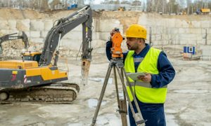
Drone land surveying is not the best fit for every project. Some jobs need traditional ground measurements for the whole project. Others do well with a mix of aerial and ground work.
Several things shape the choice. The size of the project matters, along with the accuracy the job calls for and how much of the ground is visible under plant cover. Terrain, site access and the weather during the flight window all play a part. The final products the client needs and any need for ground measurements on parts of the site round out the picture.
A licensed surveyor should decide how much of the work happens in the air and how much happens on foot. Heavy tree cover, for example, can block a drone’s view of the true ground surface. In that case, ground methods may carry more of the job.
For projects, the right method is simply the one that gathers the information the project actually needs, within the accuracy and schedule the job calls for. The terrain here rewards good planning. A surveyor who matches the tools to the site gives a project a stronger start.