Construction is picking up in Bridgeport. New buildings, site upgrades, and property changes are showing up all over town. That sounds like good news, and it is. Still, faster projects bring new problems. Builders need better site data right away, not weeks later.
That shift is why more people are asking about lidar mapping.
Construction Is Moving Faster Than Before
Projects today don’t sit around waiting. Developers want to move from idea to build as quickly as possible. That puts pressure on early steps like site checks and planning, so teams often rely on lidar mapping for construction planning to keep everything moving without delays.
Older methods can slow things down. Crews spend more time walking the land, taking measurements, and returning later to fill in gaps. That approach works, but it takes time.
Now, many projects in Bridgeport need answers sooner. When a site has tight deadlines, slow data becomes a real problem.
Better Site Data Is Now a Priority
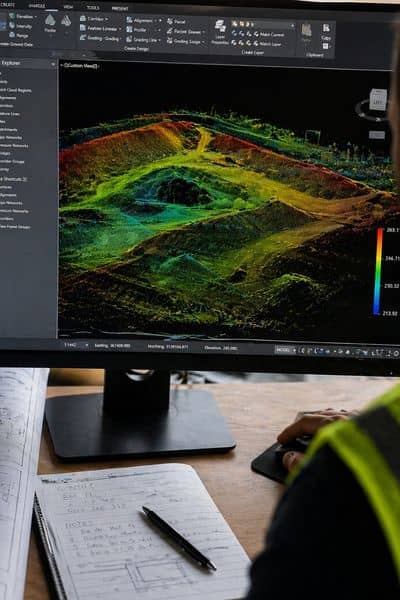
When a project starts, the first question is simple: what does the land really look like?
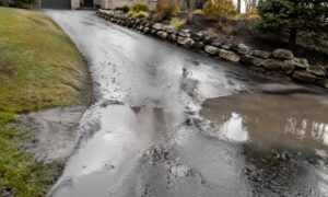
On paper, a site might seem clear. In reality, it often isn’t. Ground levels shift, old features stay hidden, and past work can leave uneven areas behind.
Because of that, builders want more detail early. They don’t want to fix mistakes later, so they pay close attention to site conditions using lidar mapping.
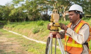
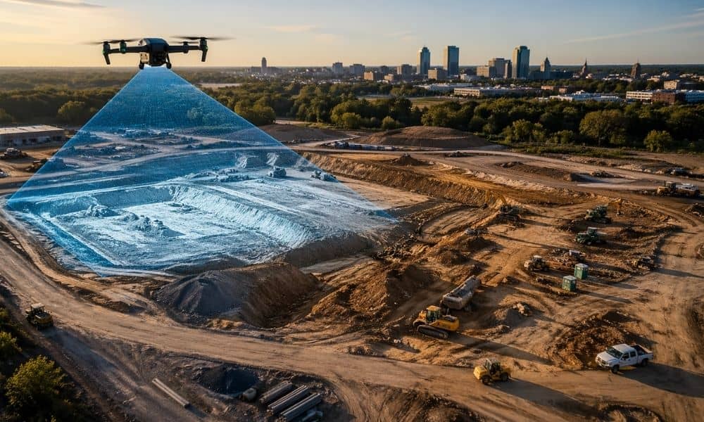
Where LiDAR Mapping Fits In
LiDAR mapping collects a large amount of surface data in a short time. That helps teams see the full shape of a site early in the process.
For active construction areas like Bridgeport, that speed matters. Crews can review the land sooner. Designers can plan with better information. Teams avoid going back and forth as much.
Instead of waiting on updates, they move forward with confidence.
Local Projects Are Driving the Change
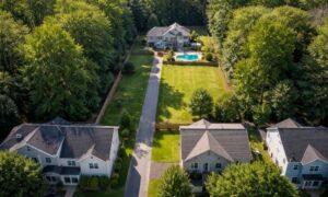
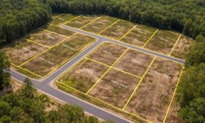
Recent development in Bridgeport is not small. Medical sites, commercial buildings, and mixed-use areas all need solid planning.
These projects often deal with:
- Land that has been used before
- Areas with uneven grading
- Sites with limited access
Because of that, early data needs to be clear. Builders cannot rely on rough estimates.
So, more developers now choose lidar mapping at the start, not halfway through.
The Cost of Getting It Wrong
Bad site data does not stay a small issue. It grows.
A missed slope can change drainage plans. A hidden grade shift can affect building layout. Fixing those problems later costs time and money.
In a busy market, delays hurt more. Crews get pushed back. Schedules shift. Costs rise fast.
Accurate data early helps avoid those problems.
When LiDAR Mapping Makes Sense
Not every project needs it. Still, many do.
It often makes sense when:
- The site is large
- The ground is uneven
- The project has a tight timeline
- The land has a long history of use
If a project is simple and flat, basic methods may work fine. But if there is any doubt, better data helps.
What This Means for Property Owners
If you own land or plan to build, things are changing.
Developers now expect faster answers. They want clear site data before they commit to a design.
That means tools like lidar mapping are becoming part of early planning, not an extra step.
If you plan ahead, your project runs smoother. If you wait, small issues can turn into bigger ones.
Moving Forward with Better Site Planning
Bridgeport’s growth is not slowing down. More projects will come, and expectations will keep rising.
Accurate site data is no longer optional for many builds. It is part of staying on schedule and staying on budget.
If you are planning a project, now is the time to look at your site conditions early. The right approach at the start can save a lot later.