A Lot Survey Can Prevent Final Plat Delays

You’ve got land. You’ve planned out your lots, and everything looks right on paper. So you move forward, expecting a smooth approval. Then the city reviews your plan—and suddenly, things stop. Maybe one lot is slightly too small. Maybe access doesn’t meet local rules. Or maybe the layout just doesn’t work the way you thought. […]
How LiDAR Mapping Is Changing Property Data

Technology keeps changing how people understand land. Recently, cities and counties started using lidar mapping to make very detailed maps of neighborhoods and large areas. This technology collects millions of measurements from the ground. Because of this, planners and engineers can see land features much more clearly. Most news stories talk about big cities. However, […]
When a Construction Staking Survey Goes Wrong
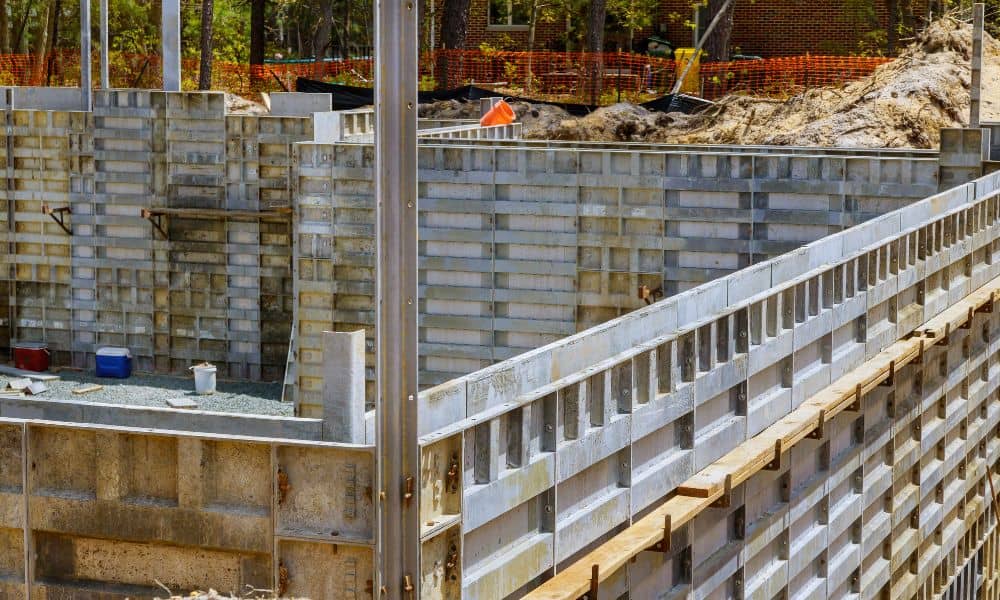
When you start a new build or home addition, you expect things to go smoothly. The plans are ready, the permits are in, and you’ve hired a surveyor to mark where everything should go. But what happens when your construction staking survey goes wrong — or worse, your surveyor disappears before finishing the job? It […]