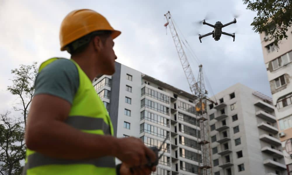
If you work in drone land surveying, there’s big news you need to know. The state recently tightened its UAV privacy rule—changing how drones can legally fly over private property. This update doesn’t just affect hobbyists or photographers; it directly impacts how surveyors, developers, and property owners use drones for mapping and construction projects.
What Changed in West Virginia’s Drone Law
West Virginia refreshed its drone privacy code to make one thing clear: you can’t fly over or capture private property without permission from the owner or occupant. This means that even if you’re following federal FAA rules, you still need to get consent at the state level.
Until now, most drone land surveying crews relied on FAA Part 107 regulations alone. Those rules control airspace, altitude, and pilot certification—but they don’t cover privacy or consent. The new West Virginia rule fills that gap. If your drone accidentally records a neighbor’s property, you could be held responsible for violating state privacy law.
That’s a big deal for surveyors, developers, and even homeowners using aerial mapping to plan driveways, pools, or new construction.
Why It Matters in Bridgeport
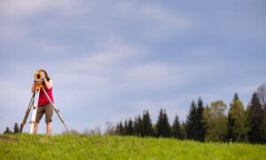
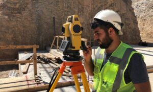
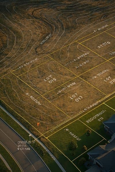
Bridgeport is growing fast. From commercial zones near Charles Pointe to residential projects in White Oaks, development is everywhere. Surveyors use drones to speed up mapping, reduce costs, and capture accurate elevation data.
But with properties sitting close together, a single flyover could cross invisible property lines. What seems like harmless data collection might now be seen as an invasion of privacy under the updated rule.
If your surveyor flies without written consent, your project could face more than just complaints. You could be dealing with delayed permits, legal issues, or rejected site documentation.
That’s why both surveyors and clients need to double-check how their contracts handle drone use, imagery ownership, and privacy protection.
How Surveyors Should Adapt
Professional surveyors need to treat this rule as part of their job, not just a legal footnote. The best way to stay compliant is to build privacy protection directly into every step of a drone project.
Start by getting written consent from every property owner whose land might appear in a drone flight path. Don’t assume that nearby vacant land or commercial rooftops are “fair game.”
Also, keep precise flight logs—showing when and where the drone was in the air, and what parcels were recorded. This isn’t just paperwork. If someone questions your drone footage later, having that documentation could protect your license and your business.
Finally, make sure all imagery is stored securely. Data retention should have a time limit, especially for projects that include footage of areas outside your main job site.
What Clients Should Do
If you’re hiring a drone surveyor, ask the right questions before the first flight. A good surveyor will welcome these conversations—they show you’re serious about doing things the right way.
Ask:
- Do you have written permission from property owners near my site?
- Are you licensed under FAA Part 107?
- How do you handle video or images that include neighboring land?
- Do your contracts reference the updated UAV privacy rule?
If your surveyor can answer those confidently, you’re working with a professional who understands compliance. If not, it’s a red flag.
A Real-World Example
Imagine you’re building a new home in Bridgeport. Your contractor hires a surveyor to run a drone flight to check grading and drainage. The drone’s camera also captures part of your neighbor’s backyard.
Your neighbor spots the footage online and files a complaint. Because of the new privacy rule, your surveyor could be cited, and your project might stall while the complaint is resolved.
Now imagine the same situation—but this time, the surveyor already obtained signed consent, logged flight data, and deleted nonessential imagery after processing. The same neighbor has no claim because the process followed the law. The difference is just a few simple steps that prevent a major headache.
The Business Impact
This rule may sound restrictive, but it can actually make your business stronger. Clients want reliable, law-abiding professionals. By adding clear privacy procedures, your company stands out as a trusted choice for drone land surveying.
When you show clients that your team respects airspace, consent, and data rights, you build credibility. Over time, that reputation becomes one of your biggest marketing advantages—especially as more developers rely on drone mapping for fast, accurate results.
How Bridgeport Can Lead the Way
Bridgeport’s Planning and Zoning Department already encourages responsible technology use for public and private projects. This new UAV rule gives surveyors and developers a chance to set the local standard.
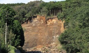
Instead of treating drone restrictions as barriers, local firms can turn them into proof of quality. Whether you’re mapping a floodplain, checking site grades, or filming progress for investors, compliance ensures your work stands up to scrutiny.
Moving Forward
Drone technology is changing how land surveyors capture data—but laws are changing just as fast. West Virginia’s new UAV privacy rule reminds everyone that innovation comes with responsibility.
For surveyors and property owners, that means one thing: always fly with consent and confidence.
If you’re about to start a project, talk to your surveyor about updating your drone land surveying contract. Ask questions, review the flight plan, and confirm compliance before takeoff.
Bridgeport is building its future from the ground up—and now, from the sky down. Just make sure every flight respects both the law and your neighbor’s view.