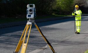
If you’ve ever needed a boundary line survey for your property, you probably imagine a surveyor arriving with high-tech gear, marking the corners, and finishing in a day. Most of the time, that’s exactly what happens. But lately, surveyors across the region are facing a problem that feels more like science fiction: GPS outages and satellite jamming.
Just this week, the FAA issued new advisories warning about GPS interference. Across the Atlantic, European officials confirmed that even a government jet was disrupted by GNSS jamming. These headlines may sound distant, but for landowners in Bridgeport and surrounding areas, they matter more than you’d think. When satellites misbehave, surveyors’ tools stop working the way they should. That means your boundary survey might not finish on schedule.
What GPS Outages Look Like in the Field
For surveyors, a GPS outage doesn’t mean the equipment goes dark. Instead, it’s more like a compass spinning in circles. The rover may show a location, but the accuracy drifts from a few centimeters to several feet. What should be a sharp “fixed” reading turns into a shaky “float” solution.
Imagine marking your property line one day, only to have the same stake appear several feet off when checked again. In a boundary line survey, that kind of error isn’t just inconvenient—it can lead to disputes, construction delays, or even legal challenges. When accuracy is questioned, surveyors often have to return to the site, redo measurements, and double-check results with backup methods.
Why North-Central WV Is Especially Affected
Bridgeport and the wider Harrison County area rely heavily on satellite positioning because of the ongoing construction boom. From I-79 corridor projects to the North Central West Virginia Airport expansion, survey crews are on the ground almost daily. Any interruption in GPS signals directly slows down fieldwork.
The area’s terrain adds another layer of challenge. Rolling hills and thick tree cover make it harder for satellites to lock onto a rover. When interference from FAA testing or outside sources comes into play, even the best setups start to wobble. Surveyors may find themselves standing in a field, waiting for corrections to stabilize, while project timelines keep ticking.
How Surveyors Work Around GPS Problems
The good news? Surveyors don’t just throw up their hands when satellites glitch. Experienced crews have several ways to keep a boundary line survey on track, even during outages.
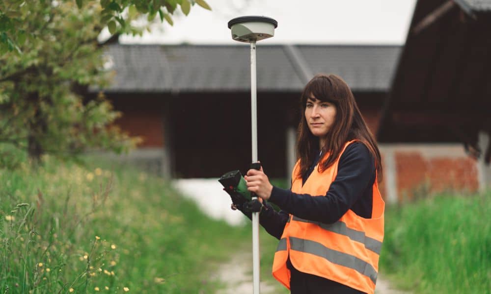
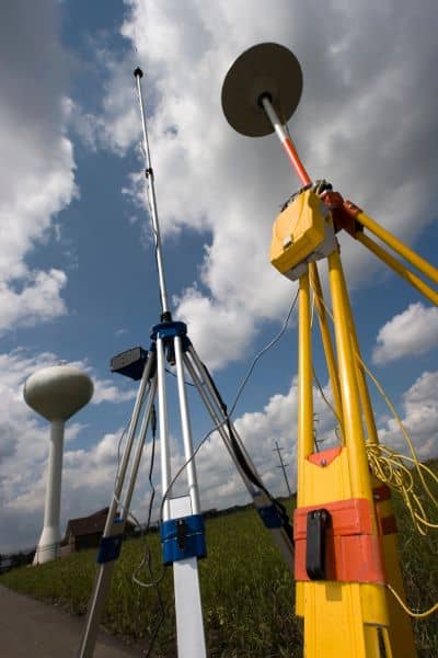
First, many use dual-constellation equipment. Instead of depending only on GPS, they pull signals from GLONASS, Galileo, or BeiDou as well. More satellites mean better chances of maintaining accuracy.
Second, surveyors often bring a local base station to the site. This allows the rover to connect directly to a known point nearby, reducing dependence on long-range corrections.
If both of those fail, surveyors can post-process data through systems like OPUS, or even switch to traditional total stations. While slower, these methods ensure that the final survey map is precise and defensible. In fact, these backup steps are part of what separates licensed land surveyors from casual GPS users.
Why This Matters to Property Owners
If you’re a homeowner or developer, a GPS outage might sound like a small inconvenience. But the reality is more serious.
Say you’re closing on a house and need a boundary line survey before signing. If the surveyor hits a GPS outage, your closing date could shift. That delay ripples to your lender, title company, and even the moving truck you’ve already booked.
Or picture starting a fence project. You want the line set correctly, so you don’t build on your neighbor’s lot. A bad GPS signal could mean your fence is off, creating disputes later. The stakes are high—literally and figuratively.
Communicating Through Delays
One of the most important skills a surveyor brings is not just measuring land, but managing expectations. When GPS outages happen, professional surveyors explain the issue upfront. You might hear something like:
“Due to FAA advisories this week, we’re double-checking your property corners with a backup method. This may take an extra day, but it ensures your boundary line survey is accurate.”
That honesty matters. It builds trust and helps clients understand that accuracy is always the top priority.
The Big Picture: Don’t Let the Sky Decide Your Boundaries
Satellites have changed the way surveys are done. They make the process faster, more efficient, and often more affordable. But they’re not perfect. The recent wave of GPS advisories proves that even advanced technology is vulnerable to interference.
In North-Central West Virginia, where growth and construction are reshaping communities, accuracy matters more than ever. A boundary survey isn’t just about drawing lines on paper. It protects property rights, avoids costly disputes, and ensures that projects move forward smoothly.
So, the next time you see a headline about GPS jamming or interference, remember that it’s not just an aviation issue. It could be the reason your surveyor calls to say they need one more day in the field.
Final Thoughts
If you’re planning a project, ask your surveyor how they handle GPS outages. The right team will have backup methods, clear communication, and a plan to deliver accurate results no matter what.
Because when it comes to property lines, you don’t want the sky calling the shots—you want a licensed surveyor who knows how to keep your boundaries certain.