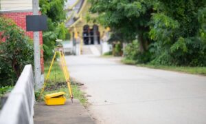
Developing land in West Virginia is full of opportunity — but it’s also full of hidden risks. From steep slopes in Morgantown to outdated property records in Charleston, the smallest overlooked detail can stall a project or drain your budget. One of the most effective ways to avoid these headaches is by getting an ALTA Survey early. It’s not just a formality for lenders or title companies — it’s a proactive step that can uncover costly issues before they derail your plans.
Why Land Development in West Virginia Can Be Tricky
Building in West Virginia offers unique rewards, but it also comes with challenges that can catch developers off guard:
- Hilly terrain and irregular lots – Slopes affect grading, driveways, and stormwater flow.
- Easements and rights-of-way – Utility lines or shared access roads may limit where you can build.
- Outdated property records – Many deeds don’t match the actual land layout.
- Strict zoning and permitting rules – Cities like Charleston, Morgantown, and Huntington each have their own requirements.
Without accurate site information upfront, any of these issues can lead to permit delays, redesign costs, or even legal disputes.
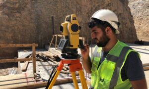
How an ALTA Land Title Survey Helps Development Go Smoothly
When everyone — from developers to city reviewers — is working from the same, accurate data, your project moves forward with fewer surprises. Because ALTA Land Title Surveys follow strict commercial property survey standards, you can be confident the results will meet lender, title company, and permitting requirements — no matter the project’s location or complexity.
Here’s what it helps you do:
- Confirm exact property boundaries so your designs stay within legal limits.
- Identify easements and restrictions before construction begins.
- Provide accurate data for lenders and title companies to speed up financing.
- Support zoning and permit applications with precise site details.
- Help engineers and architects design smarter by mapping slopes, drainage patterns, and access points.
When everyone — from developers to city reviewers — is working from the same, accurate data, your project moves forward with fewer surprises.
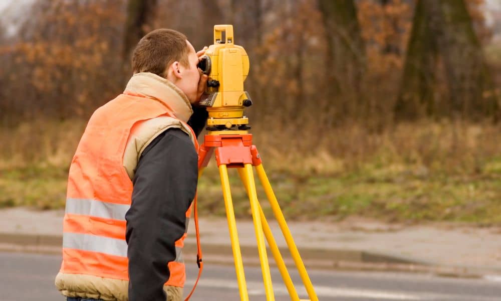
A Delay That Could Have Been Avoided
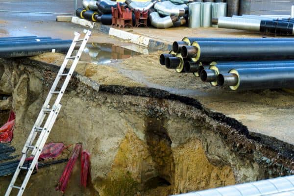
A developer in Charleston planned to build a small shopping center. The site plan looked fine at first, but during review the city found a problem: an underground utility easement cut across part of the property.
Because no ALTA survey had been done before the design stage, the easement wasn’t discovered until late in the process. The project had to be redesigned, which caused a six-week delay and added unexpected costs.
If an ALTA survey had been completed early, the easement would have been spotted right away, and the design could have been adjusted before submission.
Who Should Get an ALTA Survey?
Not every property needs an ALTA survey, but it’s often the right choice for:
- Commercial developers starting new projects.
- Investors planning apartments or mixed-use housing.
- Buyers of rural land converting it into development sites.
- Lenders and title insurers funding larger projects.
In these cases, an ALTA survey reduces risk and speeds up approvals.
Why Do It Early?
Timing matters. Ordering an ALTA survey early in the process helps you:
- Save time on permits and reviews
- Avoid costly redesigns later
- Get accurate information for financing
- Spot risks before construction begins
- Plan with confidence
Final Thoughts
In West Virginia’s varied terrain and patchwork of local regulations, guesswork is a gamble you can’t afford. An ALTA Land Title Survey gives you the certainty you need by clearly showing boundaries, easements, utilities, and potential obstacles before you commit resources.
Whether you’re developing in Charleston, building in Morgantown, or investing in Huntington, getting this survey done early is one of the smartest moves you can make. It’s a proven way to protect your budget, avoid delays, and keep your land development project on track from day one.