How the Jobs First Plan Fuels Construction Survey Demand
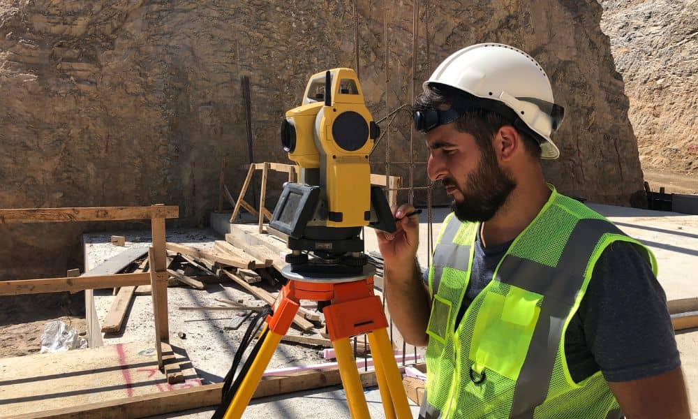
West Virginia’s new Jobs First — Opportunity Everywhere plan is big news. The state wants to grow the economy, create more jobs, and help local businesses. As this plan moves forward, Bridgeport will see more building activity. And with every new project, a construction survey becomes one of the first and most important steps. This […]
Can Drone Surveying Detect Hidden Ground Risks?
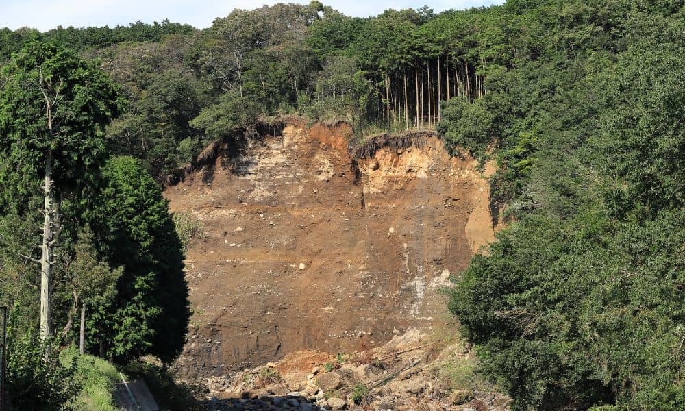
A few days ago, a landslide video from Italy went viral. Heavy rain hit a quiet hillside town, and within seconds, the ground gave way. A home collapsed and slid downhill like it was made of paper. People all over the world watched the clip in shock. As heartbreaking as it was, it also sparked […]
What Lies Beneath Your Property? A Topo Survey Reveals It
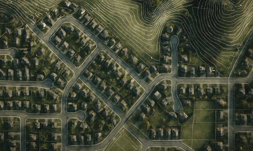
When news about the Rolling Thunder Mine disaster spread across West Virginia, people stopped scrolling and paid attention. A crew hit an uncharted underground water pocket, the mine flooded in minutes, and rescue teams worked around the clock. The story felt far away from everyday life, yet it raised a question many homeowners don’t ask: […]