New Drone Rules Every Drone Land Surveying Firm Must Know
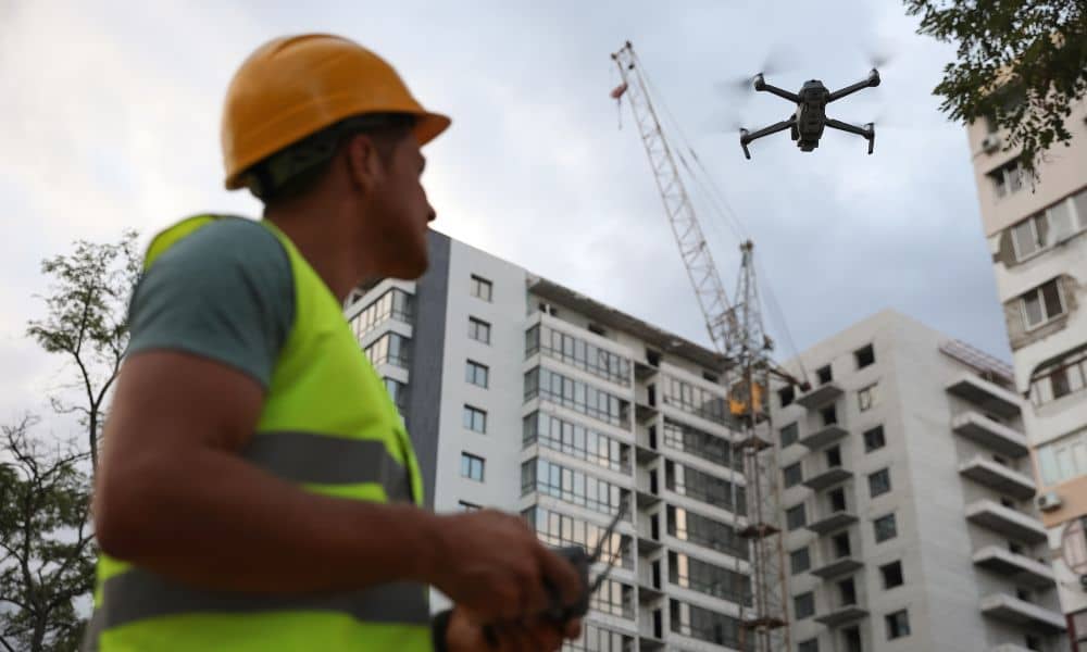
If you work in drone land surveying, there’s big news you need to know. The state recently tightened its UAV privacy rule—changing how drones can legally fly over private property. This update doesn’t just affect hobbyists or photographers; it directly impacts how surveyors, developers, and property owners use drones for mapping and construction projects. What […]
When a Construction Staking Survey Goes Wrong
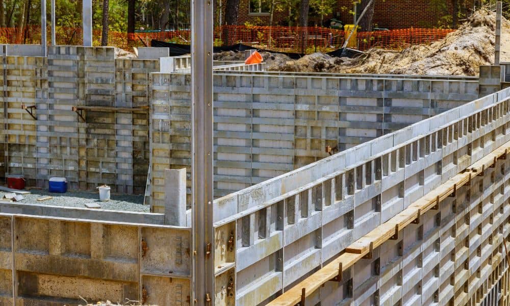
When you start a new build or home addition, you expect things to go smoothly. The plans are ready, the permits are in, and you’ve hired a surveyor to mark where everything should go. But what happens when your construction staking survey goes wrong — or worse, your surveyor disappears before finishing the job? It […]
Why Every Airport Project Needs a Construction Surveyor
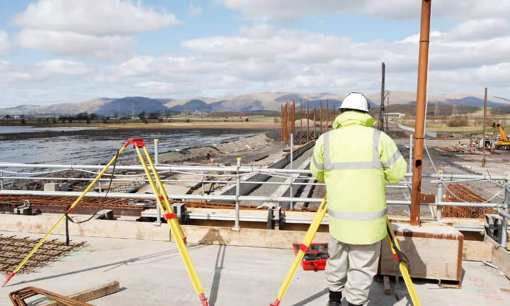
If you plan to build near the North Central West Virginia Airport in Bridgeport, one professional has to be on your team from day one: a construction surveyor. This isn’t just about staking corners or marking where a building goes. At airports, surveyors keep projects in line with strict Federal Aviation Administration (FAA) rules known […]